
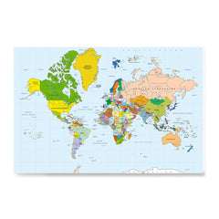
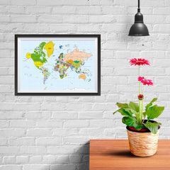
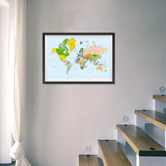
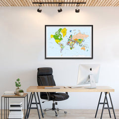
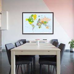
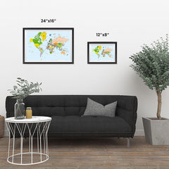
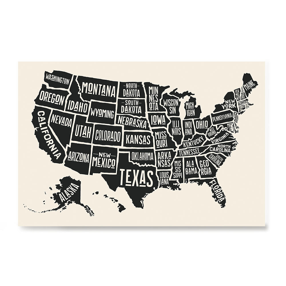
Classic World Map - Mercator projection
We also recommend


Packed & Shipped by Hand
We print all orders using the best quality products and pack& ship them one by one with care.
All EzPosterPrints posters are;
- Printed on High quality premium photo paper, Satin, Luster Surface which provides Super Brilliant and Vivid colors, Sharp details
- We use the highest quality branded printers and materials (Epson, HP).
- UV safe that will last for years
- All items are digitally created, stamped, produced and manufactured by EzPosterPrints in the USA.
![]()
![]()
